Mount Gravatt has long been a suburb of Brisbane, in Queensland, one of it’s most well known sites is Griffith University, at the foot of, yes, Mt Gravatt. But we’d never thought climbing Mt Gravatt would be worth it until a friend who lives in the area says she walks up regularly and the view and a coffee are good rewards.
Climbing Mt Gravatt
Information about the climb, in Toohey Forest Park, was easy to find in the Brisbane City Council website and they have downloadable maps. The map is right at the bottom. The site also has some background information about the park. Finding information about accessing the area by public transport was a bit more difficult.
Getting there
There is no bus that travels to the lookout at the top of the climb. So you’ll need to go by car, or walk up on one of the many walking tracks.
The information in the downloadable brochure seems easy enough:
- By car: access is from Toohey Road, Tarragindi and Outlook Drive, Mt Gravatt
- Outlook Drive is at the end of Shire Road , off Logan Rd.
- By foot: the reserve can be accessed from surrounding streets at points identified on the map overleaf.
- This is pretty general and the maps aren’t that detailed
- The maps at the top of the climb show the routes down so it you want to try a different path, you can choose at this point as the signs are clear.
- By public transport: for public transport information
- visit the Translink website or phone 13 12 30.
- Basically, it helps to know which stop you need, either by name or identifying location.
- Regardless of your start point or destination, you can use Translink’s Journey Planner to help find your bus and the timing.
- By bike: go to the Queensland Government’s Brisbane website and search ‘Riding in Brisbane’ to plan your trip.
Fortunately a couple of kind souls suggested that Translink Bus routes 174 or 175 would probably be the best ones, with one adding that Stop 36 on Logan Rd would give us easy access to the start of the ‘Summit’ track, number 23 on the map. It’s marked as moderately difficult.
An easy and short route is the Acacia track (number 25) from the University Campus, also accessible by bus from the city.
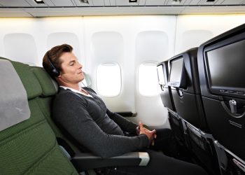
We caught the bus at the Fortitude Valley terminus, though you can get on at any stop on the route. Easy access is available from the train network at South Brisbane and Southbank Stations and all stops are clearly marked. Press the bell as soon as you pass the stop before the one you want. The trip took approximately 50 minutes. The service runs about every 15 minutes on weekdays. Use the Translink Journey planner to help you find the best route from your location.
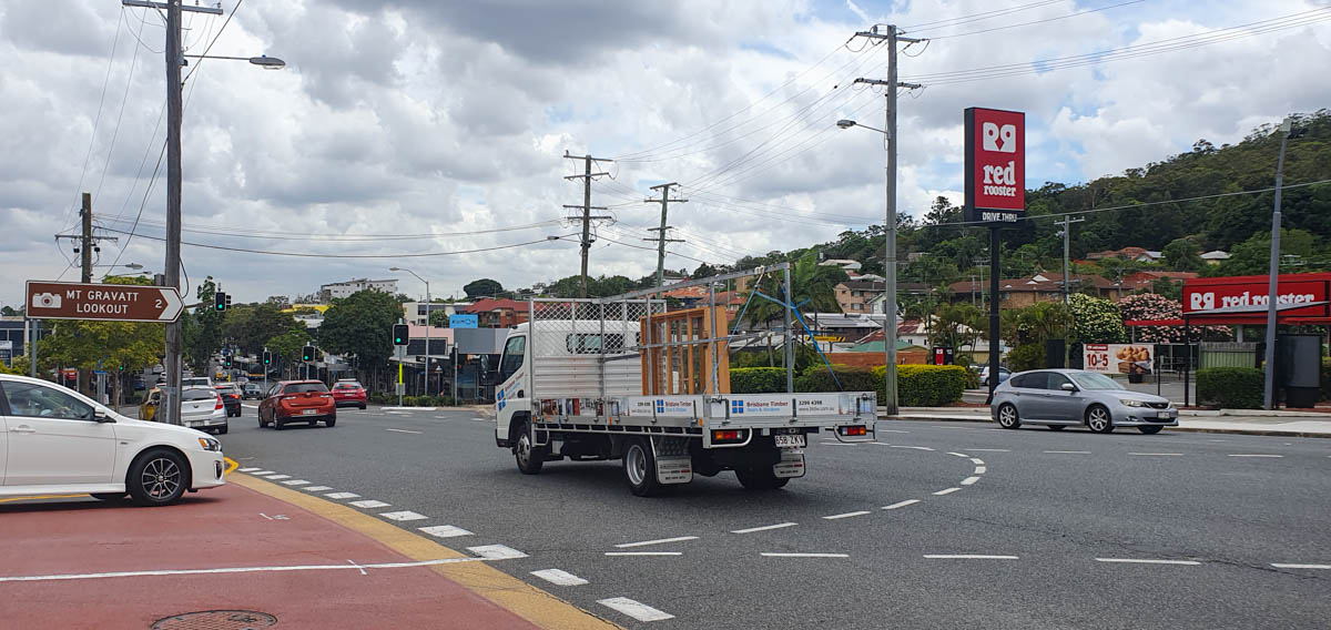
There’s a big sign pointing the way to the lookout a little further along the road, once you leave the bus. Click on the pins to see the location.
The climb
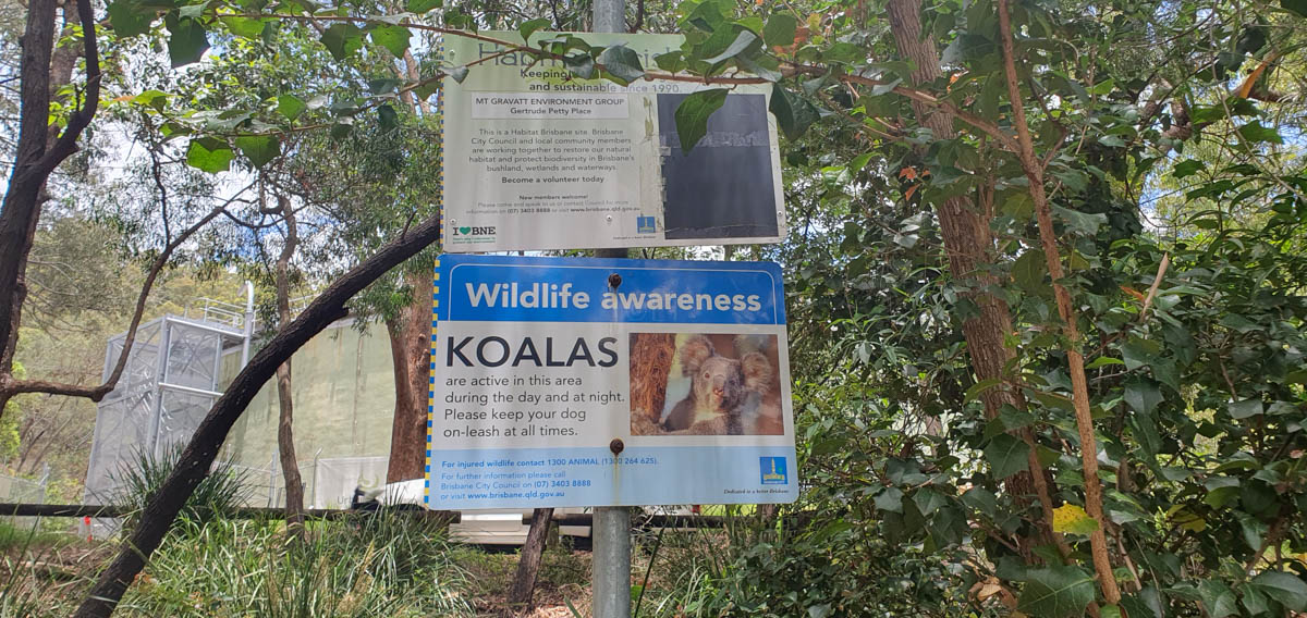
If you want to check out the local wildlife, remember to walk quietly as you’ll see very little if you make a noise and scare them away. That said, wear proper shoes and make sufficient foot noise to alert any passing snakes to keep well away.
The Summit track (and the longer Federation track) leaves from Gertrude Petty Place, where there’s a map with information about what to look out for.
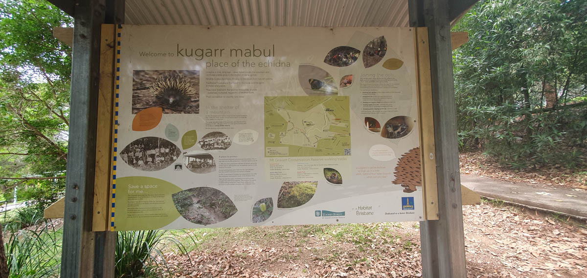
Look up to see koalas, usually sleeping in the fork of a tree, possums and gliders. Look down to see echidnas, or more likely where they’ve been foraging in an ants nest. You should keep your eyes open for various lizards and the multitude of birds. Listen to the noises of the bush and the contributions of cicadas and other noisy insects. P.S. If you’re a traveller from overseas, watch out for the ‘drop bears’. Please look that up for a giggle.
As you walk up there are helpful markers if you’re interested in the nearby trees. About 70m up from the entrance to the Summit track, you’ll come to a fork in the road. We missed the ‘correct’ turn to the right and we carried on up a very rudimentary track, only realising our error when we discovered the ‘correct’ route when we were on the way down. This is well marked and has good stone steps, however it isn’t suitable for those in wheelchairs or using walking assistance.
At the top
The main Tracks come together at an entrance opening into an open picnic area and there is a clean toilet block directly in front, at the edge of the carpark. The lookout is in the raised area in the middle of the carpark, with a map showing the points of interest. You’ll have a panoramic view across the city, and you can use the binoculars to focus on a smaller area.
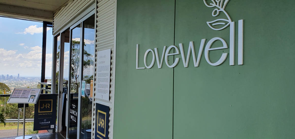
If you have children with you, there’s a small playground, close to the café, which does have a takeaway hatch overlooking the playground, with a couple of tables where you can sit with a drink as you watch the kids. If you prefer to sit and enjoy the view, there’s a lovely long veranda where you can relax with a ‘cuppa’ and a snack or a light meal. This is a social enterprise café and is open between 7am and 3pm daily.
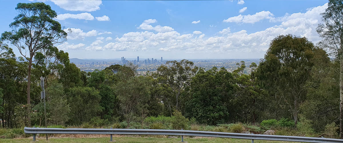
Brisbane, from Mt Gravatt
On the way down
Once we’d found the correct way down, we could choose which route to take as all the tracks are accessible from the same place. However we decided to go down on the Summit track we should have used on the way up. It’s quite an easy walk with well made steps, although it may be slippery when wet.
Back at Logan road, the bus stops are on the same side, so you don’t have to cross the road to get back to the city. We elected not to go to the inbound stop 36 (turn left at the corner of Shire Rd) as it was quite a distance away, without shade. Stop 37 inbound is to your right in front of the shops, closer and under cover. There’s information about the bus times and if you have the Translink app on your phone, you can check where your bus is.
Including the bus ride which took about half an hour each way, the whole excursion took us almost exactly four hours. For more details, watch our short video and enjoy your walk.
images©ET


This Post Has 0 Comments